26-March
 |
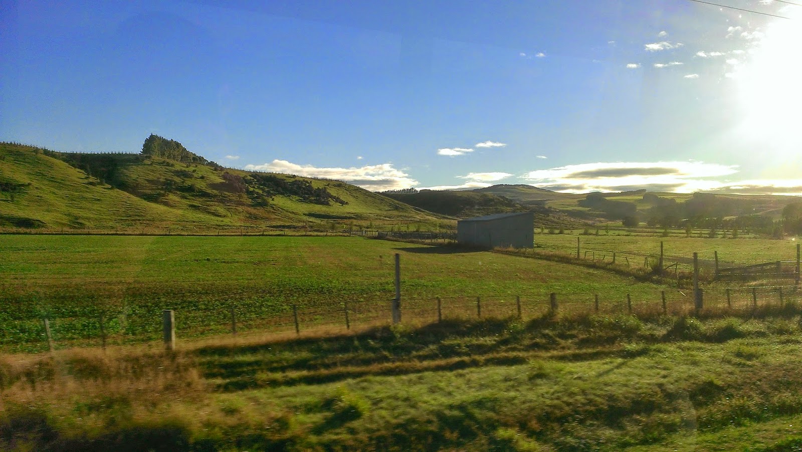
| Whataroa River |
We’re rolling along the Wild West Coast of New Zealand. The orographic rainfall here has to be measured in meters, producing a stretch of rain forest along the coastline. The roads are winding along the steep ocean-side cliffs, but ahead of us in the south snow-capped peaks emerge. The rivers now carry clear blue waters from the alpine glaciers, and we can see an abundance of deep kettle lakes. The Franz Josef Glacier is just visible hidden in its large valley, and sits high above the little town of the same name. After checking into our hostel, it was time for Pizza Night! All I could eat turned out to be about fourteen pieces.


 Today is my long anticipated adventure to the Franz Josef Glacier! We joined the guides for an early start, and after gearing up we headed to the helicopter pad. This being my first time in a helicopter, it was quite exhilarating! We flew over the braided Waiho river and up-valley, where the glacier terminus lay in the middle of the rain forest, just 300 meters above sea level. Rock walls rose up, and we landed on a stretch of ice still in the shadow of the valley. Donning crampons and gloves, I set food on my very first glacier! Our walk took us up along a route through ice-fields, crevasses, ice arches, and boulder piles. The sun, finally coming into view, turned the ice a brilliant piercing blue, and began to melt small streams across the glacier surface. The scalloped faces of the ice reflected the sunlight, and even walking into a crevasse the blue light penetrated through the walls. The source of the Waiho river plummets from the edge of the glacier near the ice falls, and rainbows shone in the spray. This was the highest we could venture, since the ice falls is the fastest moving part of the glacier, with continuously shifting ice, as we saw that day. Before long our trek across this surreal landscape had to come to an end, and as Arnold would say, we had to “get to the choppa!” The afternoon was spent relaxing in the hot pools, at a balmy 40 degrees C.
MORE GLACIER PICTURES TO FOLLOW

28-March
 |
| Lake Wanaka road |
Our journey continues south along the West Coast, and from the cliff road we see the Tasman Sea, with water stretching farther continuously until you reach Patagonia. After a stop at Lake Matheson to see its famous reflective qualities, we followed Route 6 and the Haast River inland through the lowest of the passes through the Southern Alps. Huge cliffs towered on either side, and house-sized boulders were strewn across the valley floor from landslides. It is here that we are crossing the Alpine fault, which is pushing the Southern Alps even higher while stretching the South Island. Within an hour we had moved from the coastal rain forest into beech forest, which dominates New Zealand’s alpine environments. This soon gave way to dry grasslands with sparse trees in the rain shadow created by the mountains. The morning’s rain disappeared as well behind the mountains, and the sun illuminated golden fields, dusky mountains, and two of NZ’s largest lakes: Wanaka and Hawea. These were carved out by glaciers in the last global ice age, whose terminal moraines dammed the valleys and provided the foundation for the town of Wanaka. In the early evening I climbed Mt Iron for views of the region through light drizzle.
 |
| Lake Hawea |
 |
| Kawarau River bungy |

29-March
Departing Wanaka across the countryside to Queenstown, we learned about the region’s history during the gold rush, which basically funded the construction of the rest of the country. The rugged mountains could belong in the American West, and stories of miners, outlaws, and gold towns don’t seem at all out of place here. The Kawarau River was previously known as the “golden river”, but now is best known as the site of the first commercial bungy jump. We cheered on our comrades as they overcame their fears of jumping off a bridge. The arid region is also famous for its award winning pinot noir. It’s off to Queenstown! Known formally as the adventure capital of the world, if you’re looking for ridiculous things to jump off of, you can find it here. Tonight we explored the city’s famous nightlife and quirky bars.
30-March
Milford Sound is known by some as the 8th natural wonder of the world, and is our destination today. We hit the road before sunrise, and the long drive from Queenstown was the highlight of the day due to the fantastic views expanding before us. Approaching the Daren Mountains the clouds rolled in, producing a bizarre landscape with towering cliffs disappearing into the mist, cool mountain streams, and unmelted snow fields atop the saddles. The valley ended in a shear granite face, where we entered the 1km Homer Tunnel to exit on the Milford side. Stopped at The Chasm; a roaring mountain stream carving its way into the granite. Our boat awaited us in the harbor for a cruise on the fjord. Despite the rain and clouds, we saw waterfalls, huge cliffs coming straight out of the water, U-shaped glacial valleys, and more seals! We even dunked the fore-deck in a waterfall for a refreshing shower.

Countryside drive and the Darren Mountains


The Maiden of Milford and Milford Sound
 |
| Photo: Shotover Jet |
 31-March
As I’ve said, if its ridiculous or downright insane, it was probably invented in NZ. Example: the jet boat. On this brisk and sunny morning I’m embarking on the Shotover River on one wild ride. With double jet engines it can cruise at 85 km/hr in as low as 10cm of water. The water of the river was so clear the bottom appeared right beneath us, and we suddenly zoomed into the Shotover canyon, drifting corners with cliffs on either side. The driver pulled some 360 degree turns, splashing water everywhere. The wind chill nearly froze my face, but I was too focussed on the cliffs whipping by. Round 2? Better the second ride. Back in the city riding my adrenaline rush I tackled the famous Fergburger, inducing some solid napping later.
 |
| Kiwi Bus on the way to Milford Sound |
No comments:
Post a Comment